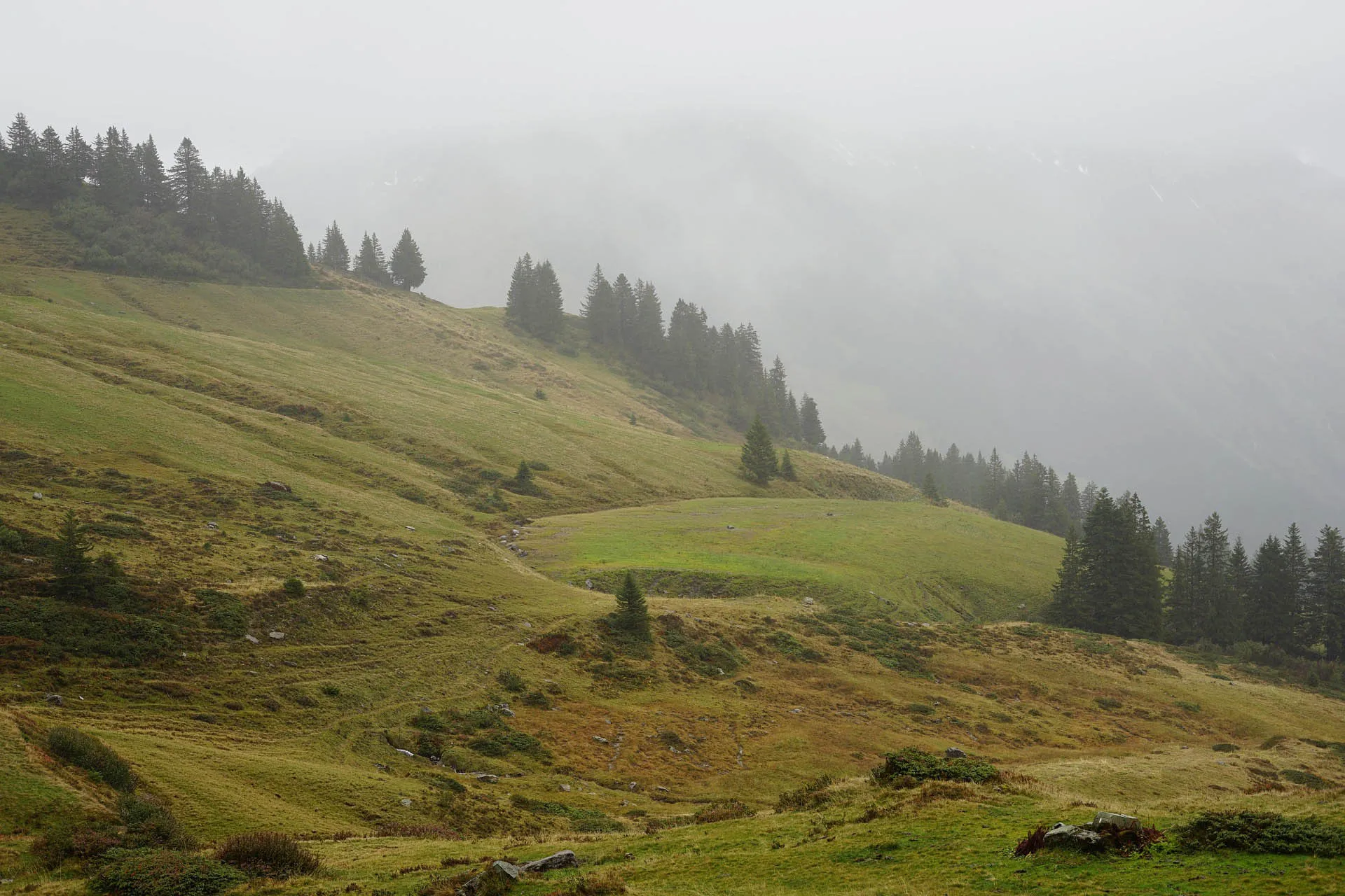
Spring water begins its journey long before it becomes visible. It originates from precipitation that seeps into the ground and travels through various layers of rock over years or decades. Along this path, the water is filtered and shaped in its character. The location of a spring therefore significantly determines its properties. Our springs in Austria are located in regions with a distinct natural structure and geological diversity. They reflect the unique characteristics of their surroundings and show how closely water, landscape, and the subsurface are connected.
The map provides an overview of the hydrogeological conditions in Austria. It is intended to represent the prevailing groundwater conditions in the individual geological zones or regions. As is common with summary representations of complex conditions, natural circumstances may deviate locally from the depiction.
Source and further information: Hydrological Atlas of Austria
Based on the type of aquifer (porous, karst, or fractured groundwater) in combination with its extent and yield, five aquifer types are distinguished: Two classes each of highly productive porous aquifers and karstifiable aquifers (with fractured and karst groundwater) are contrasted with one class of low-yield aquifers (with porous, fractured, or karst groundwater). Within these aquifer types, one or more rock compositions (lithology) are identified. Care was taken to distinguish as few lithology classes as possible to ensure the legibility of the map.
Conductivity: High (500–800 µS/cm), often influenced by anthropogenic factors (settlements/agriculture).
Yield: Highest productivity; ideal for large drinking water wells.
Flow velocity: High (meters per day); the water moves through the pores between the stones.
Conductivity: Medium to high (400–700 µS/cm).
Filtering effect: Better than Type 1, as finer components (local marl) retain pollutants more effectively.
Artesian: Frequently confined groundwater possible under loamy top layers.
Conductivity: Medium (300–450 µS/cm).
Spring type: Typical giant springs; discharge reacts extremely quickly to heavy rain (turbidity possible).
Retention time: Very short in karst conduits (hours to days), no significant filtering effect.
Hardness: High carbonate hardness ("hard water").
Storage: Combination of fractures and karst passages; good storage capacity in the mountains.
Water type: Calcium-magnesium-hydrogen carbonate type.
Conductivity: Medium (350–500 µS/cm), often higher magnesium content than pure limestone.
Special feature: Dolomite karstifies less strongly but is extremely fractured; often acts like a giant "stone pile reservoir."
Spring type: More consistent discharge than limestone.
Conductivity: 300–500 µS/cm.
Property: Variable permeability depending on tectonic stress (fragmentation).
Special feature: Can function locally as a barrier or a conductor.
Mineralization: Often very high; water has long contact with fine sediments.
Retention time: Very high; water is often "old" (isotope age).
Artesian: Classic area for artesian wells (e.g., in the Upper Austrian or Styrian Molasse Basin).
Conductivity: Medium (400–600 µS/cm).
Yield: Rather low; the rock is often a "poor conductor" with many small seepage springs.
Special feature: Sandstone conducts the water, marl blocks it.
Conductivity: Variable (200–500 µS/cm).
Spring type: Near-surface springs that dry up quickly during droughts.
Special feature: Prone to landslides when saturated with water ("Flysch" = to flow).
Conductivity: Rather low (150–300 µS/cm).
Chemistry: Frequent detection of iron or manganese possible.
Storage: Only water-bearing in the uppermost weathering layer.
Conductivity: Very low (<150 µS/cm); extremely low in minerals.
Hardness: Very soft water; can be aggressive towards metal pipes (low pH value).
Storage: Pure fracture water systems; water only finds space in cracks.
Conductivity: Medium to high (400–700 µS/cm).
Mineralization: Often rich in silica and $CO_2$ (acidulous springs/mineral water).
Deep springs: Frequently artesian due to rising gases or deep fracture systems.
When loading, data is transferred to Mapbox.
Further information can be found in the Privacy Policy.
Confined groundwater is trapped between two impermeable rock layers and is under pressure. This pressure results from the difference in altitude between the catchment area and the extraction point. If the upper layer is drilled, the water rises without a pump to – or, with sufficient pressure, even above – the ground surface.
1 to 5 Kilometers
400 Meters
Flow velocity
Topsoil: up to 50 cm/day
Clay: 1-10 mm/day
Sand: 5-20 cm/day
Gravel aquifer: 10-80 cm/day
Deep artesian zone: 1-5 mm/day
Flow velocity
From precipitation to deep groundwater formation: 50-300 years